
The following are some experimental bike audits that were completed by the Outreach and Advisory Subcommittee of the Bath Bicycle, Pedestrian, and Transportation Committee on October 2, 2024 and again on December 2, 2024. I collected the notes from their various rides and put them into some google maps to as an experiment to see what might we might learn.
This is an experimental approach with a goal of quickly gathering a snapshot of information about a particular bike route to provide helpful information to the Bath Bicycle, Pedestrian, and Transportation Committee, and to learn more about what areas in the City of Bath need improvement. Another desired outcome is to familiarize the public with possible routes they might consider taking when riding their bikes around the City of Bath.
South End Loop from Waterfront Park
This route was identified as a way to explore connectivity issues between Downtown Bath and the South End, and to examine possible north to south routes that feel safe and comfortable for people on bikes.
Downtown (Waterfront Park) to the Bath YMCA
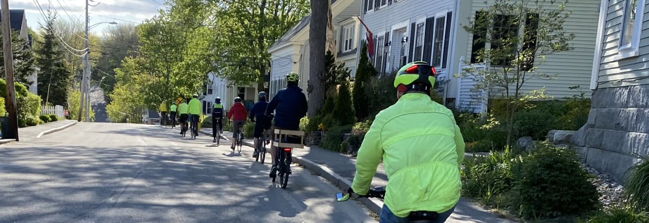
This bike route was identified as the most bike-friendly route to get from Waterfront Park to the YMCA due to its gentle incline, and the use of roads that either have limited vehicle traffic or have plenty of room for both vehicles and bicycles to coexist happily. The route makes an attempt to avoid busy or dangerous intersections.
Congress Avenue to Shaws
This bike route explores the ease with which residents can get to Shaws using the Multi-use trail on Congress Avenue along with an alternate route via Bluff Road.


You must be logged in to post a comment.